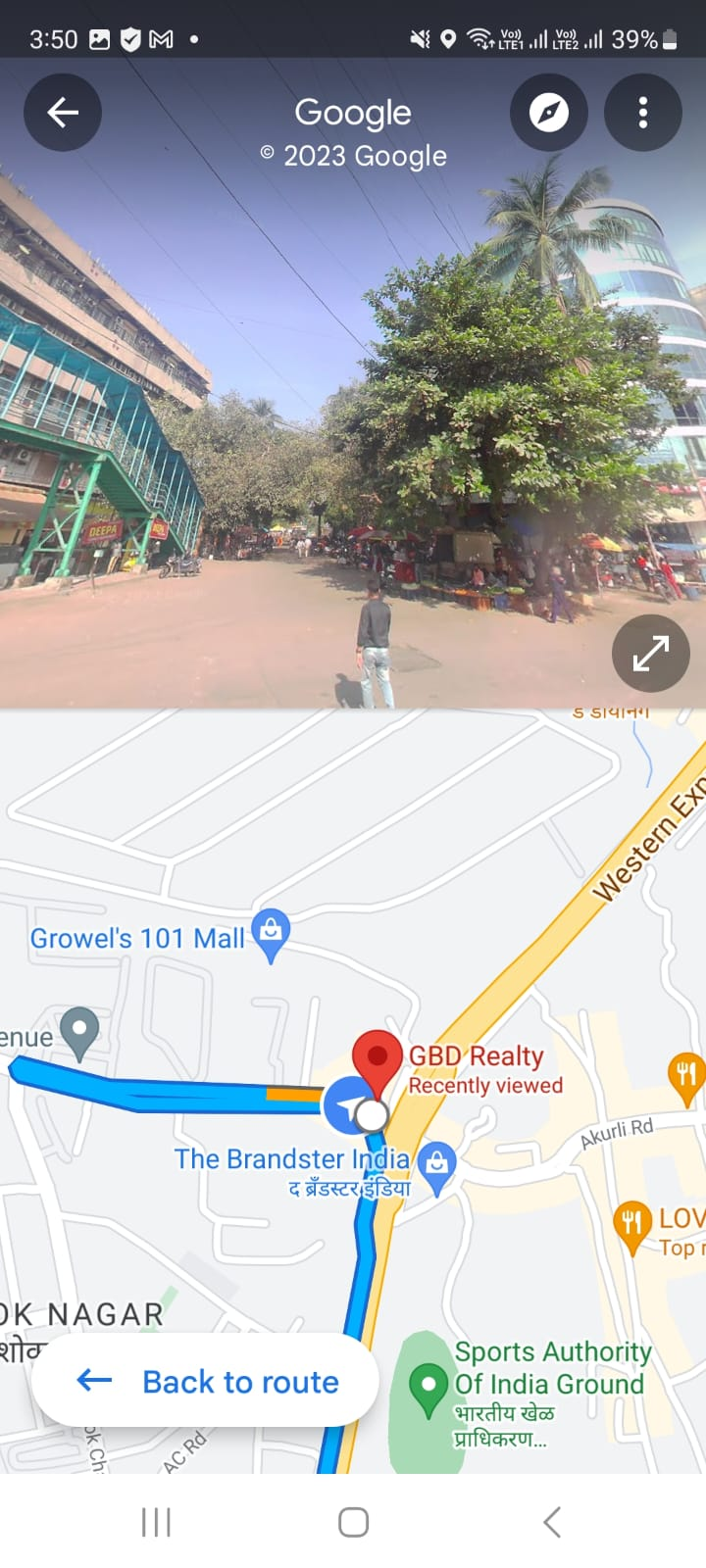
Google Street View : Reality but virtual
Introduction :
Most of us rely on Google maps for navigation, but what about the streets and the places around? Those high resolution images are as a result of Google Street view.
A little about Google street view :
- Was launched in 2011, but due to security reasons, had a late entry in the Indian market.
- Google Street View offers 360 degree high resolution panoramic images.
- Bengaluru was the launch city.
- Today, 10 cities are covered namely : Hyderabad, Chennai, Bengaluru, Mumbai, Delhi, Vadodara, Amritsar, Ahmedabad, Nashik & Pune.
- Today Google street view covers a road area of 1500000 km.
- The images are captured by mounted cameras on cars. The numerous cars globally assist in the imagery.
- If the cars are not feasible due terrain, then a tracker camera is mounted on the back of a person.
Features of Google Street View :
- High quality street images of businesses around, parking spots, establishments.
- Directions.
- Satellite images
How to launch Street View on your android smartphone?
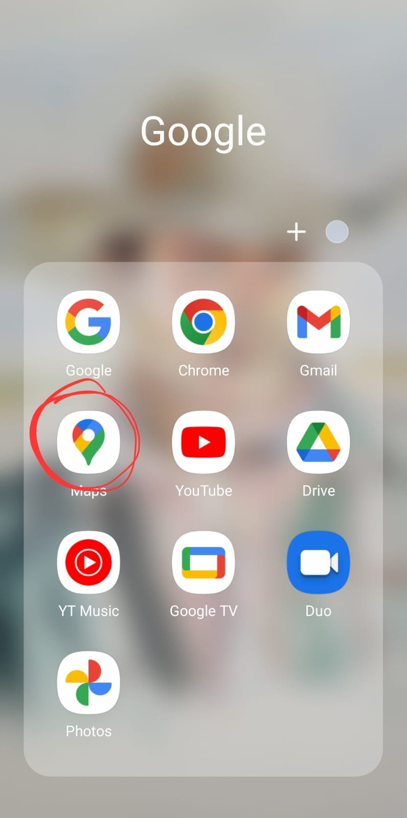
- Launch google maps on your smartphone.
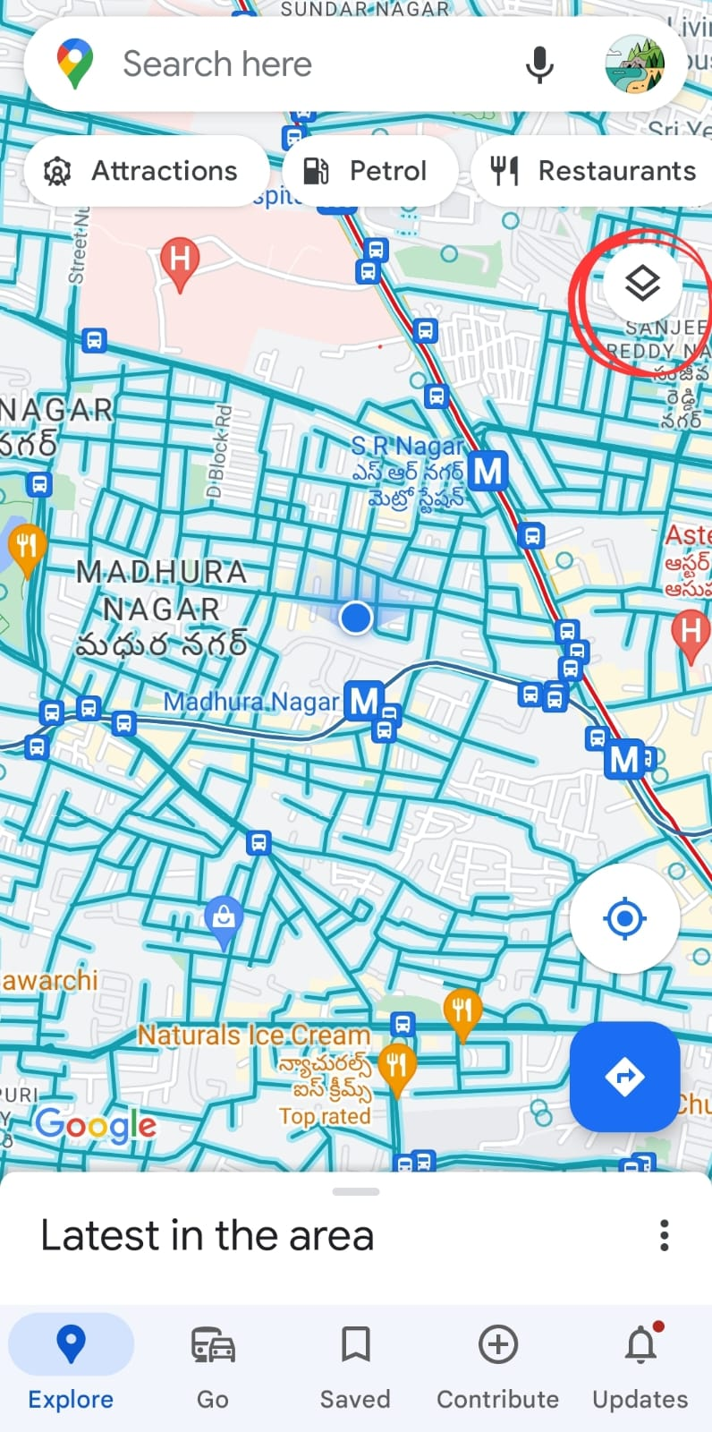
- Click on layers.
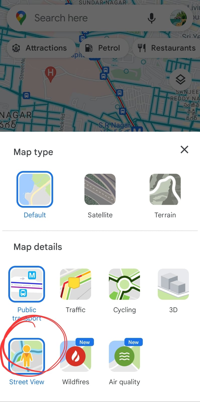
- A window pops up with “Map Type”. Select “Street View”.
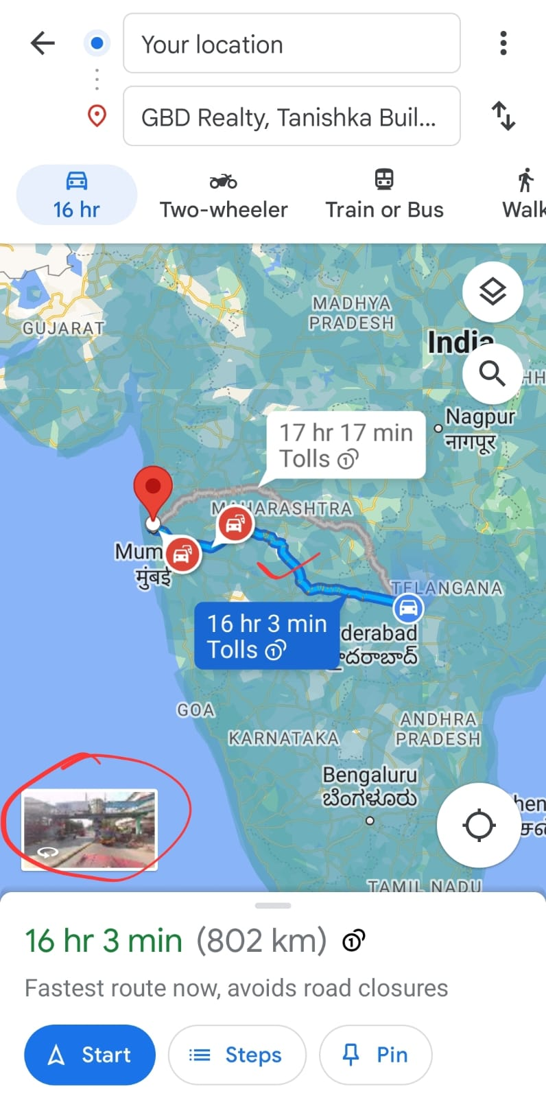
- Launch the map. The blue line between the origin and destination gives you the street view.
The blue line between the origin and destination gives you the street view. You can rotate the image ( street view) in the first half of the screen 360 degrees
So, next time you are on a tour or just navigating through a city, make use of the Google Street view, which would enable you to give you a perception of the region you intend to travel.
- Happy Commuting


